


Download the app for a 30-day free trial by signing in with your Apple ID. You can then request a full trial version via email.
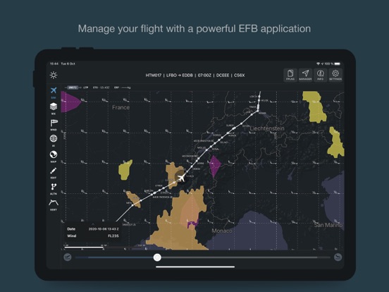
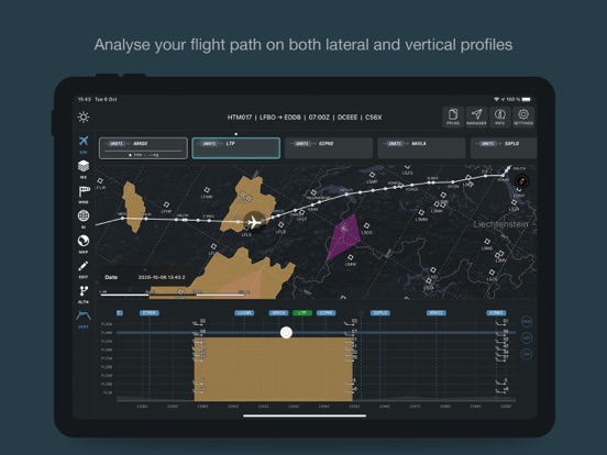
Guidor offers an intuitive and detailed representation of a flight path and the whole environment surrounding it. E.g. lateral and vertical profile, surrounding waypoints and airports, surrounding weather phenomenons etc...
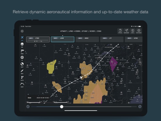
It merges and aggregates several databases and report systems in order to display the most precise and relevant information (weather, Taf/Metar, ADS-B)...
Guidor uses certified file format and protocols (ARINC), so that it can easily communicate with avionics for instance and get even more precise computations.
It also offers powerful tools to optimise trajectories and save up flight time, fuel and money (vertical optimisation, lateral re-routing, real-time update of the estimated fuel consumption and estimated time of arrival, notification and alerts of upcoming turbulences or airport status).